
7 Best Tools for Overland Route Planning
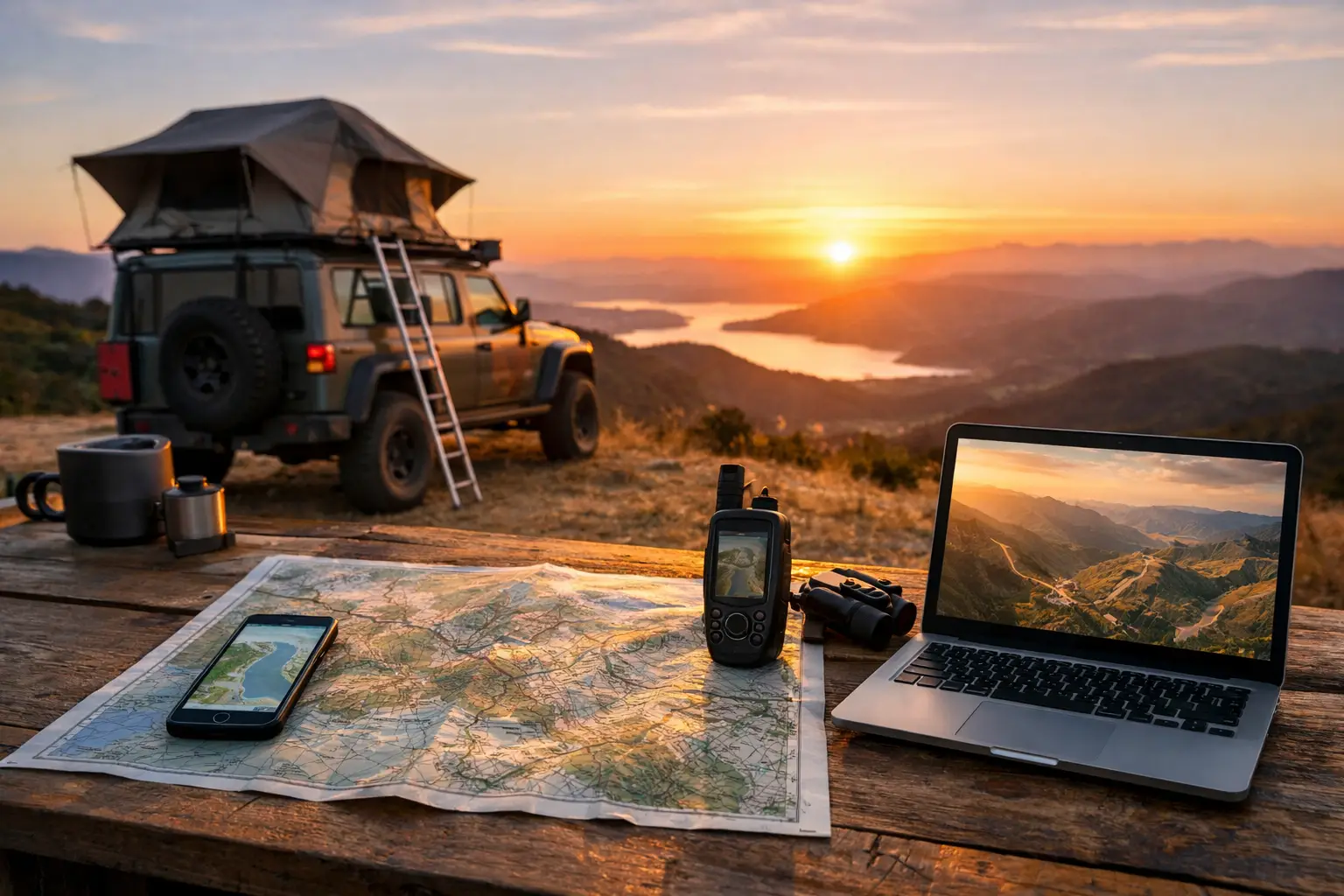
> Quick answer: The best tools for overland route planning combine offline navigation, satellite imagery, campsite research, weather checks and trip-cost tracking. No single map app handles every job well. Build a practical stack, then keep your route, spending and vehicle records together so decisions on the road are based on facts, not guesswork.
A remote desert track can look like a simple line on a map until a closed gate, flooded creek, fuel range problem or full campsite changes the plan. That is why the best tools for overland route planning are not just navigation apps. They help you assess access, find safe overnight stops, check conditions, calculate realistic driving days and keep the operational side of the trip under control.
For a weekend loop through the High Country, a mobile map and a full tank may be enough. For a months-long lap of Australia, a cross-border 4WD trip or a multi-vehicle convoy, the planning system needs more depth. You need to know where you are going, what it will cost, what your rig needs and who in the group has the latest plan.
1. Offline navigation for the route you will actually drive
Offline navigation is the foundation of any overland setup. Mobile coverage disappears quickly outside towns, particularly in national parks, the outback and mountain country. Downloadable map areas mean your route remains visible when the mobile signal does not.
Choose a navigation tool that lets you save maps before departure, search for places offline and follow your position using GPS. It should also make it easy to add waypoints for fuel, water, recovery points, border crossings, bakeries, campgrounds and scenic stops. For serious off-road travel, look for track detail rather than relying only on major roads.
There is a trade-off. General navigation apps are usually easier for turn-by-turn directions and finding services in towns. Dedicated off-road mapping platforms can offer better topographic layers, track data and trail information, but may take more time to learn. Use the app that matches your route, not the one with the flashiest interface.
2. Satellite imagery to verify tracks and camps
A road shown on a map is not proof it is passable. Satellite imagery gives you a second view before you commit. It can reveal a narrow track, a washed-out crossing, a large campground, a beach approach or whether an alleged campsite is actually beside a busy highway.
Imagery is especially useful when planning bush camps, remote station stays and alternate routes. Zoom out to understand the broader terrain, then zoom in on junctions, creek crossings and potential turnaround points. When travelling with a caravan, camper trailer or long-wheelbase 4WD, this is where a few minutes of research can prevent an awkward reversal down a tight track.
Satellite imagery has limits too. Images may be old, seasonal conditions can change the landscape and tree cover hides detail. Treat it as a planning tool, then confirm access through current road reports, land manager advice and recent traveller information.
3. Campsite and stop-finding tools for realistic daily stages
Overland routes fail when every day is planned around optimistic driving times. A 400-kilometre day on sealed roads is very different from 400 kilometres of corrugations, cattle grids, photo stops and roadworks. Campsite tools help turn a line on the map into manageable stages.
The useful ones let you filter by camp type, amenities, vehicle suitability, cost, pet rules, booking requirements and user feedback. Save several options for each night rather than assuming your first choice will be available. This matters in school holidays, on popular coastal routes and anywhere weather can force travellers off a track.
Build your route around practical stop windows. Plan an early primary camp, a late-arrival backup and a town option if you need a hot shower, laundromat or mechanical help. That level of flexibility reduces the pressure to drive tired or push on after dark.
Plan for the vehicle, not just the view
A riverside camp might be perfect for a small tent but unsuitable for a large motorhome. Record clearance limits, turning space, road surface and access restrictions alongside the saved stop. It is a simple habit that prevents the group from arriving at a beautiful place that only half the convoy can reach.
4. Weather, road-condition and safety tools
Conditions decide whether a route is sensible. Heat, wind, rain and river levels can change the risk profile overnight, particularly on unsealed roads. Add weather forecasting, official road-condition sources and emergency information to your planning process before leaving and during the trip.
Check the weather for your route, not only the destination. Rain upstream can affect crossings far from the forecast rain band. Strong winds can make towing unpleasant or unsafe. Extreme heat changes water use, tyre pressure management and the consequences of a breakdown.
For remote trips, write down your communication plan as well. A mapping app is not a safety device. Carry appropriate communications, recovery gear, water, first-aid supplies and paper or downloaded backup mapping. Tell someone where you are going and when you expect to check in.
5. Fuel-range and cost tools that expose the real route
Fuel planning is where many ambitious itineraries become expensive or impractical. Remote fuel prices, headwinds, sand driving, towing and detours all affect range. Map every likely fuel stop, but also calculate the distance between them against your real-world fuel economy, not the number printed in a brochure.
Keep a reserve that suits the remoteness of the route. The right margin depends on vehicle capacity, road conditions, available detours and how reliable local fuel information is. A conservative reserve is not wasted capacity when a roadhouse is shut, a track is closed or consumption rises on soft surfaces.
The same principle applies to the overall budget. Track fuel, food, accommodation, activities, repairs and border costs as you plan, then update them as you travel. Seeing a live total makes it easier to choose between another paid park, a free camp, a scenic detour or a rest day without discovering the damage after the trip.
Want to track your own trip costs without spreadsheets? Start Tracking Free with Trip Tracka and keep fuel, food, accommodation, maintenance, budgets and trip expenses in one place.
6. Vehicle maintenance records for self-reliant travel
Route planning and vehicle preparation should be connected. A remote route puts different demands on a vehicle than suburban driving. Before departure, check servicing dates, tyre condition, spare parts, recovery points, fluids, brakes and any known faults. Then keep those records accessible while travelling.
Maintenance tracking is not glamorous, but it makes decisions clearer. If a service interval is approaching, you can plan a workshop stop before the next remote section. If you record fuel economy after each fill, an unexpected change can flag a problem early. If a part is replaced in a small country town, you have the details later when diagnosing an issue or selling the vehicle.
For longer trips, keep a simple schedule for recurring checks. Tyres, wheel nuts, suspension, filters and trailer components deserve more attention after rough roads. The goal is not to turn every stop into a workshop session. It is to avoid losing days of travel to a preventable failure.
7. A shared trip dashboard for groups and long journeys
Group overlanding creates a version-control problem. One person has the map pins, another holds the booking email, someone else tracks fuel money, and the latest campsite change is buried in a chat thread. A shared trip dashboard solves that by keeping the itinerary, stops, bookings, budget and conversations connected.
This is where an all-in-one travel management tool earns its place. Instead of moving information between spreadsheets, map apps, notes and messages, you can see the trip as an operating plan. Record planned versus actual spend, save stops, log fuel use, track vehicle servicing and keep the group working from the same information.
The best setup is not necessarily the one with the most features. It is the one your travel partner or convoy will update consistently. Keep the route visible, assign responsibility for bookings and fuel checks, and make changes in the shared plan rather than relying on memory.
How to choose the best tools for overland route planning
Start with the terrain and trip length. A sealed-road caravan holiday needs reliable navigation, campsite research and cost tracking. A remote 4WD expedition needs offline maps, topographic detail, weather intelligence, fuel-range calculations, vehicle records and a stronger safety plan.
Then look at the weak point in your current process. If you constantly lose track of bookings, choose a better itinerary system. If fuel spend keeps surprising you, prioritise live budgeting and consumption records. If your maps are excellent but your vehicle history is in a faded notebook, fix that before adding another navigation app.
Most travellers do not need more apps. They need fewer disconnected jobs. A practical planning stack should make the next decision easier, whether that is choosing a safer road after rain, finding a campsite before dark or knowing you can afford an extra week on the road.
Ready to replace scattered map pins, notes and expense lists? Start Tracking Free with Trip Tracka to plan routes, manage budgets, record fuel and keep travel records together.
A well-planned overland route still leaves room for the unexpected turn-off, the local tip and the camp that was never on the original itinerary. The difference is that you can take those opportunities with enough fuel, time, money and vehicle confidence to enjoy them.
By Craig Watts, founder of Trip Tracka Built by travellers, for travellers - Trip Tracka helps you plan better trips, track costs, organise gear, save stops and keep your travel records in one place.
Built while travelling full-time to help travellers plan trips, track expenses, manage budgets, record fuel, store gear details and keep travel records without spreadsheets.